Skip to content
SolapetxeaElosu · ÁlavaAvailability
Menu
← Surroundings

Gorbeia · Urkiola · The reservoirs

Routes and trails
from Solapetxea

A walk beside the water, a beech forest or a mountain ascent. Places to discover the landscape around our home in Elosu.

Local prototype

Elosu as your starting point

Find your next outing

Gorbeia · Urkiola · Landa / Ullíbarri-Gamboa

Activating the map requests tiles from OpenStreetMap. Explore the outings: solid lines show reconstructed routes and dashed lines show indicative proposals.

Among mountains and reservoirs

Activate the map to explore, pan and zoom.

Choose your path

8 routes
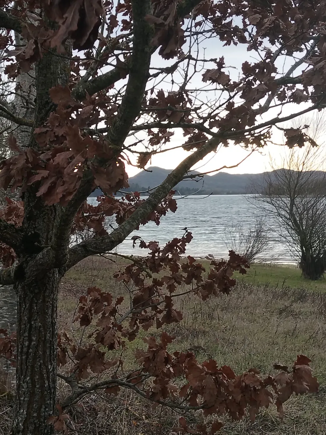
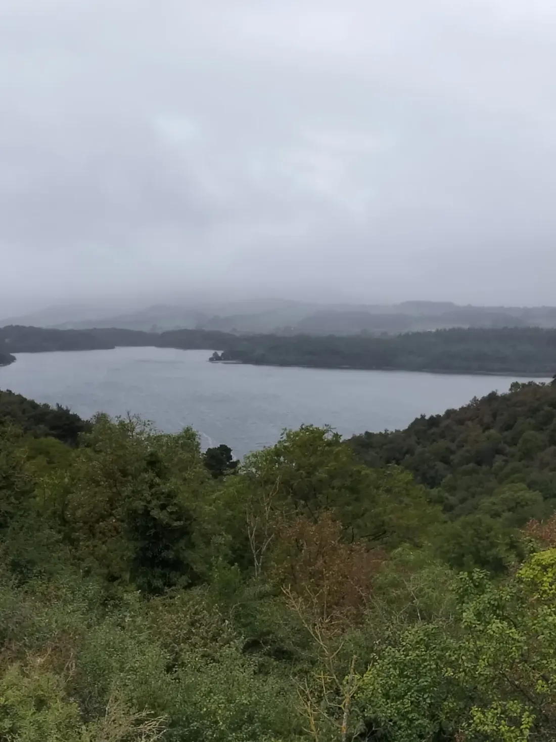
Landscape around Urrunaga reservoir
01 / Legutio · Urrunaga

Walk along the shores of Urrunaga reservoir

A peaceful walk beside Urrunaga reservoir, following paths through woodland with open views across the water. An easy route for discovering the surroundings of Urrunaga and Elosu on foot.

4.97 kmEasy
View details ↗

Indicative route

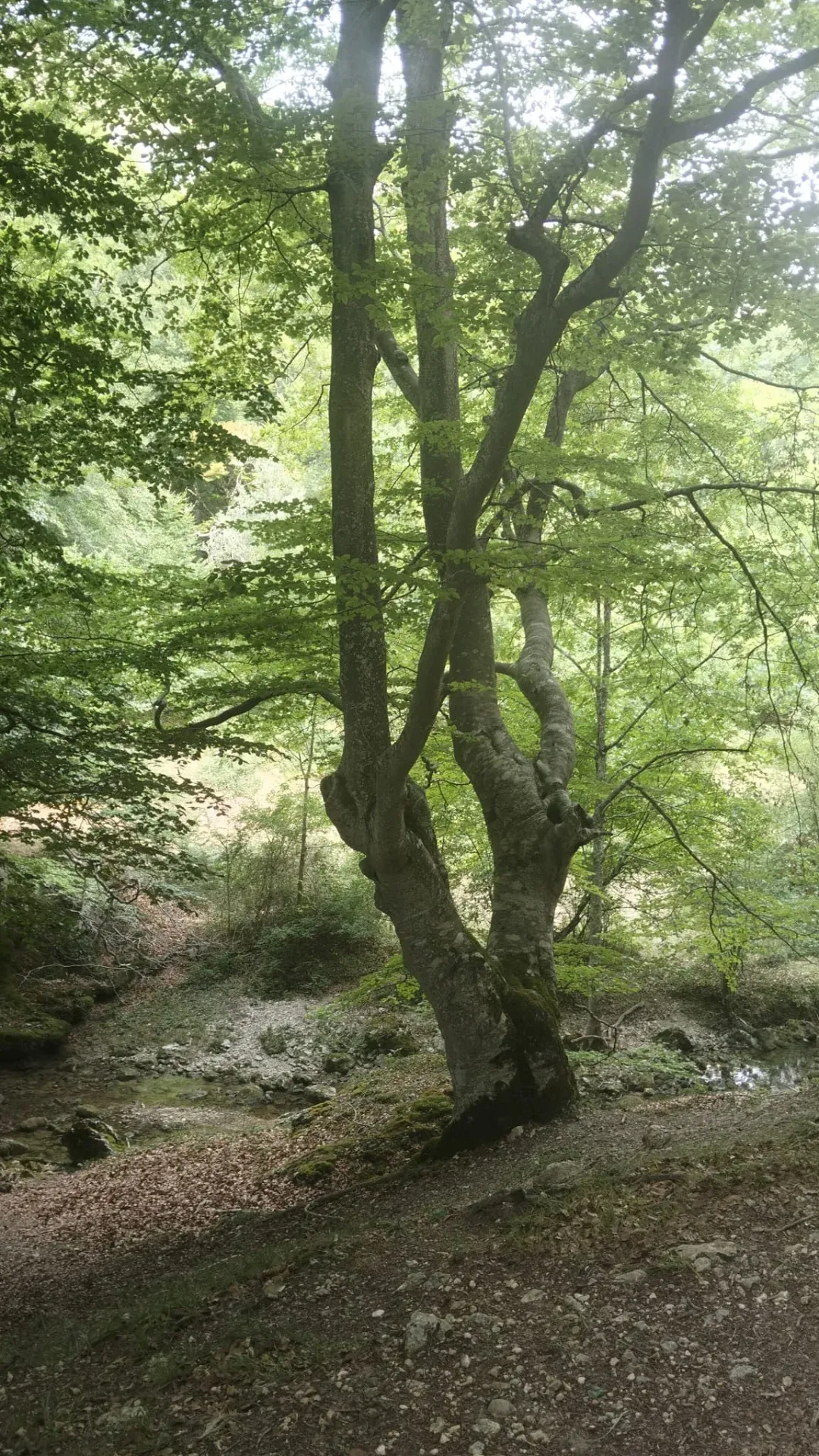
Beech forest on Mount Albertia
02 / Legutio · Albertia

Beech forests of Mount Albertia

Albertia’s beech forests offer a woodland and mountain walk from Legutio. Discover another side of the landscape around the reservoirs.

7.84 km2 h 30 minEasy
View details ↗

Indicative route

Landscape around Urrunaga reservoir
Illustrative photograph of the surroundings · Solapetxea archive
03 / Ullíbarri-Gamboa · Urbina

Urbina viewpoint

An easy route around Ullíbarri-Gamboa that climbs to the Urbina viewpoint, with broad views over the reservoir and the surrounding landscape.

6.05 km2 hEasy
View details ↗

Indicative route

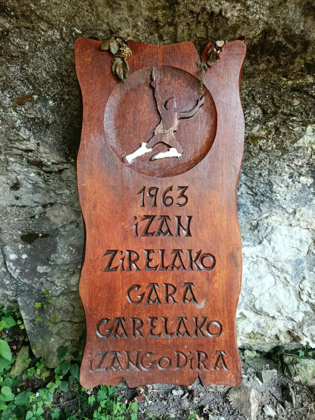
04 / Urkiola

Saibi / Saibigain

An out-and-back walk from the Toki Alai area towards Saibi, with views across the Urkiola landscape.

4 km1 h 15 minEasy
View details ↗

Route on open paths

05 / Urkiola

Urkiolamendi–Larrano

A mountain route from the Sanctuary of Urkiola linking Urkiolamendi, Asuntze and Larrano before returning along the track.

10 km2 h 45 minEasy–moderate
View details ↗

Indicative route

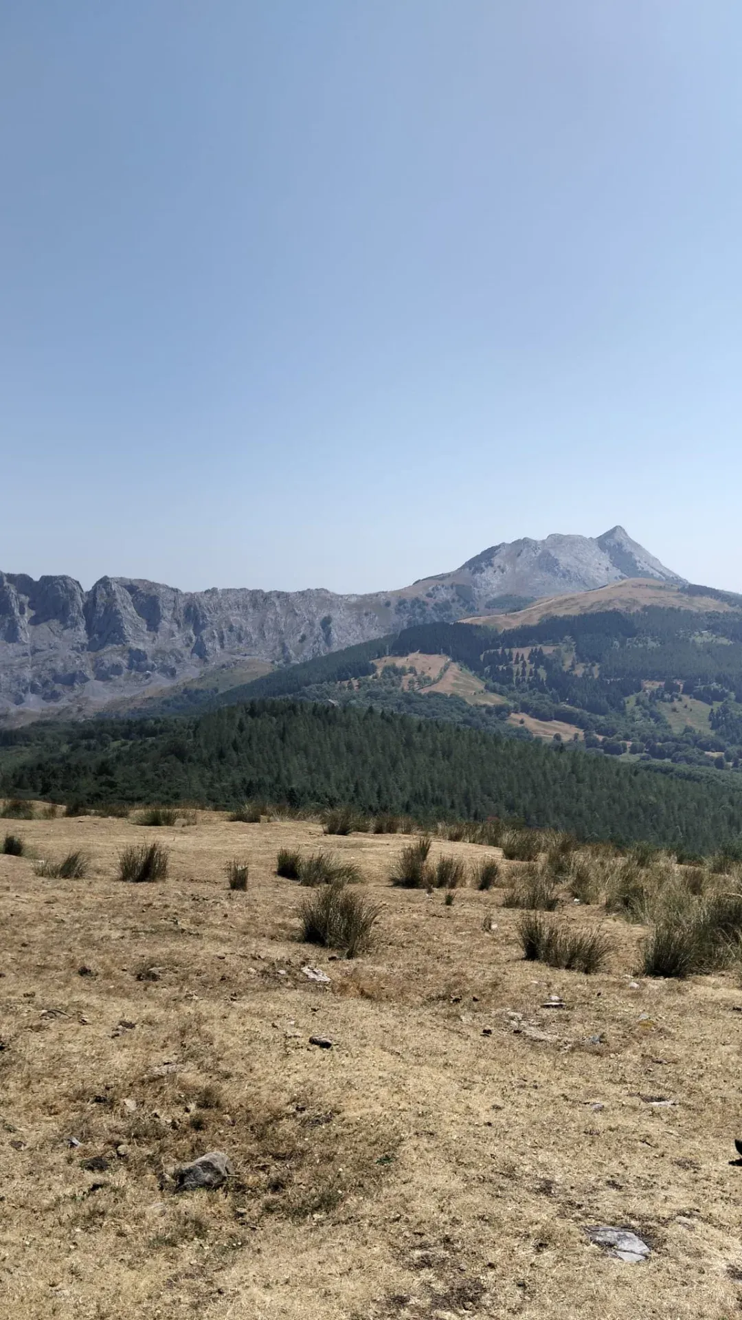
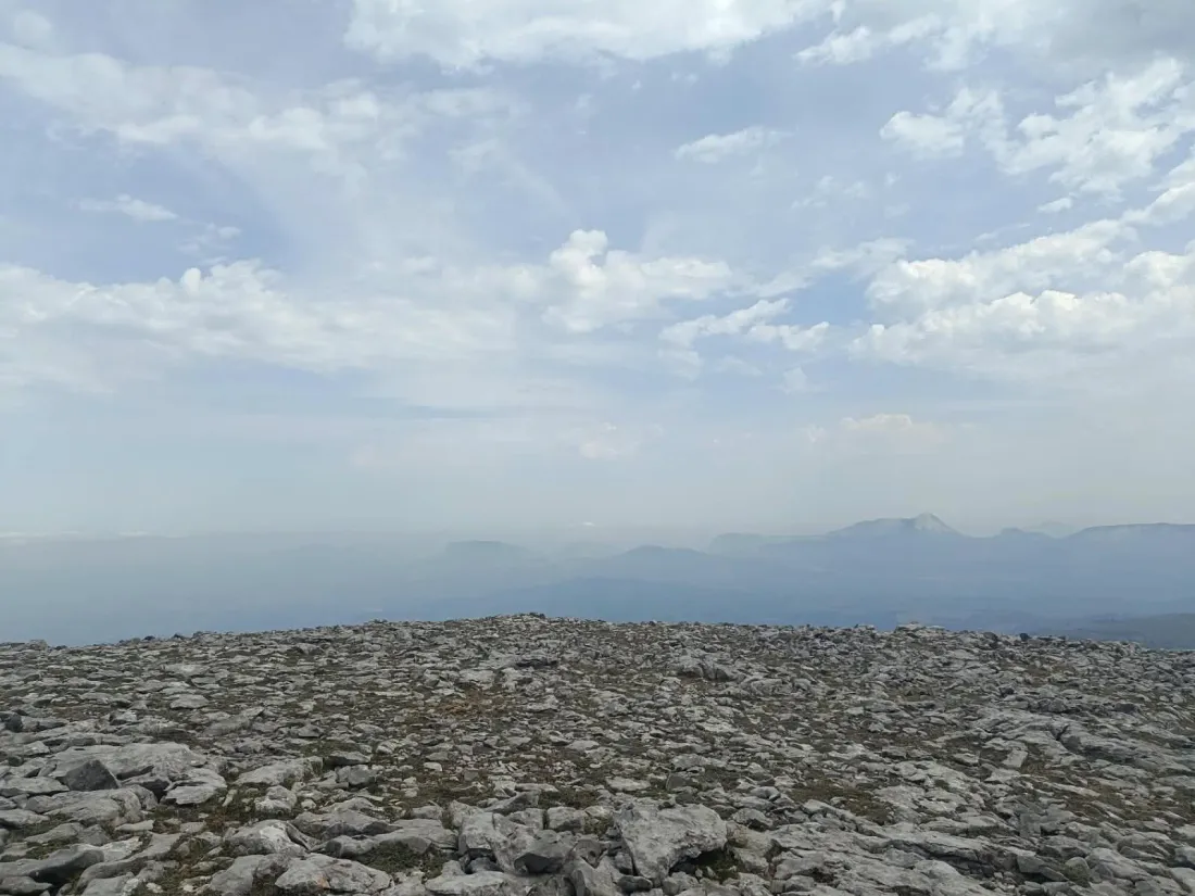
Gorbeia landscape
Illustrative photograph of the surroundings · Solapetxea archive
06 / Gorbeia · Murua

Mairuelegorreta

An approach to the exterior of Mairuelegorreta through the Gorbeia woodlands. Check the current access conditions before arranging your visit.

Check the current access conditions before arranging your visit. This proposal is limited to the exterior of the cave.

5.5 kmFácil
View details ↗

Indicative route

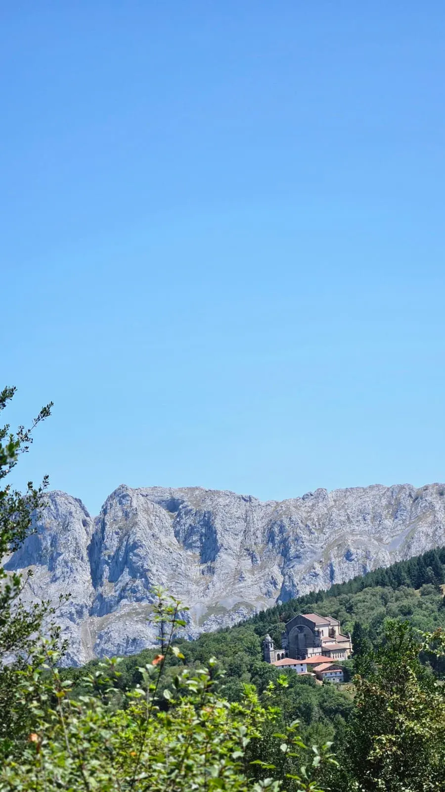
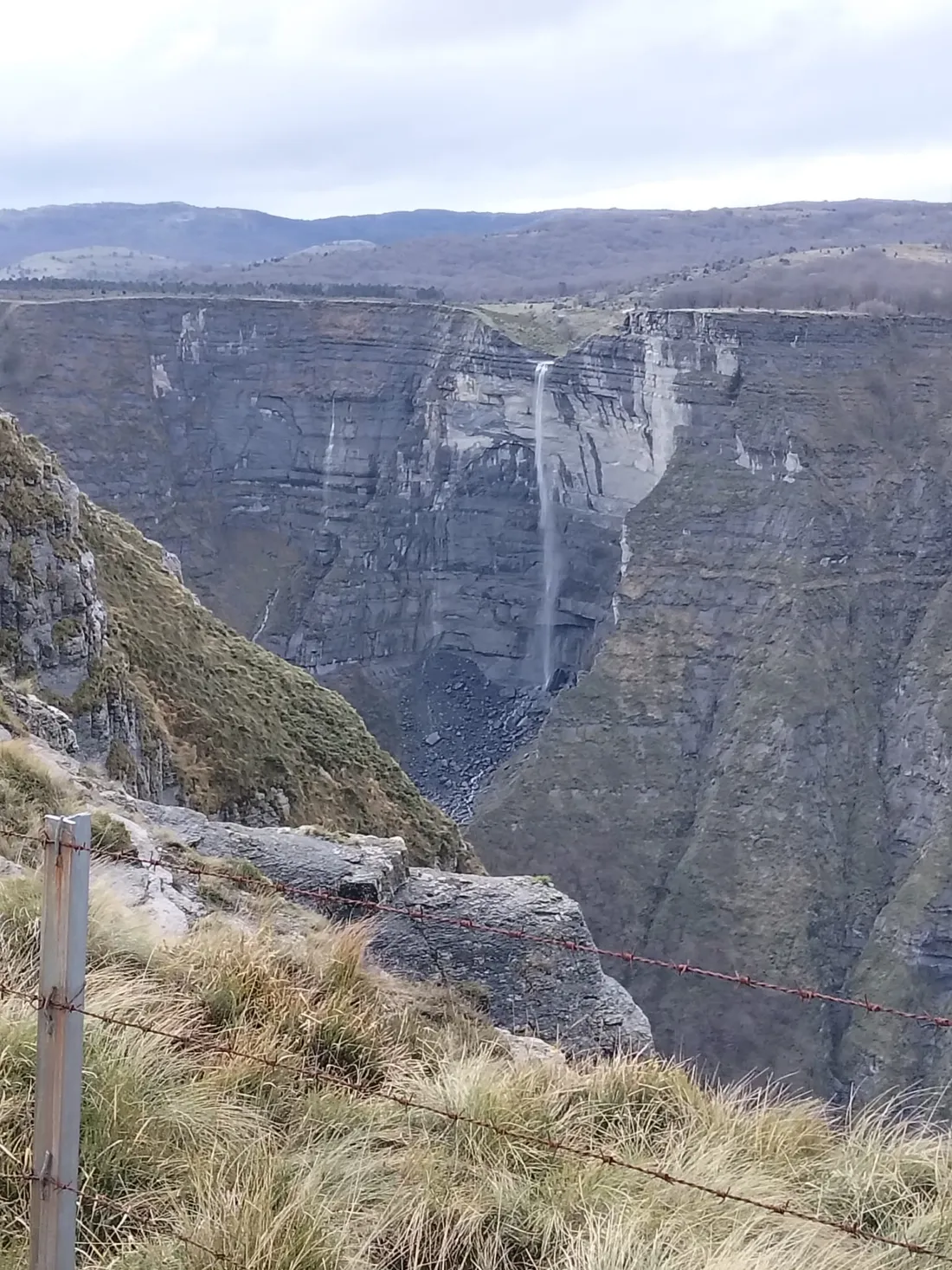
Landscape around the Nervión waterfall
Photograph of the surroundings · Solapetxea archive
07 / Urkabustaiz · Sierra Salvada

Untza – Nervión waterfall

From Untza, discover the landscape of Sierra Salvada and the viewpoints over the Nervión waterfall. A walk for enjoying the terrain and the views; the waterfall’s flow varies with conditions.

13.5 kmModerate
View details ↗

Indicative route

Gorbeia landscape
08 / Gorbeia · Murua

Gorbeia from the Murua quarries via Egillolarra

From the Murua quarries, climb through the Egillolarra woodlands to the Gorbeia cross. The route continues around Dulao and Azero before returning to Murua.

12.9 kmModerate
View details ↗

Route on open paths

Cookie policy